Where Accuracy Meets Practical Design
Dickinson Land Surveyors, Inc. is a full-service, family-owned surveying and civil engineering firm proudly serving western Nebraska and eastern Colorado from our offices in Ogallala and North Platte. For decades, our team has combined technical expertise with local knowledge to deliver accurate, efficient, and reliable solutions for projects of all sizes.
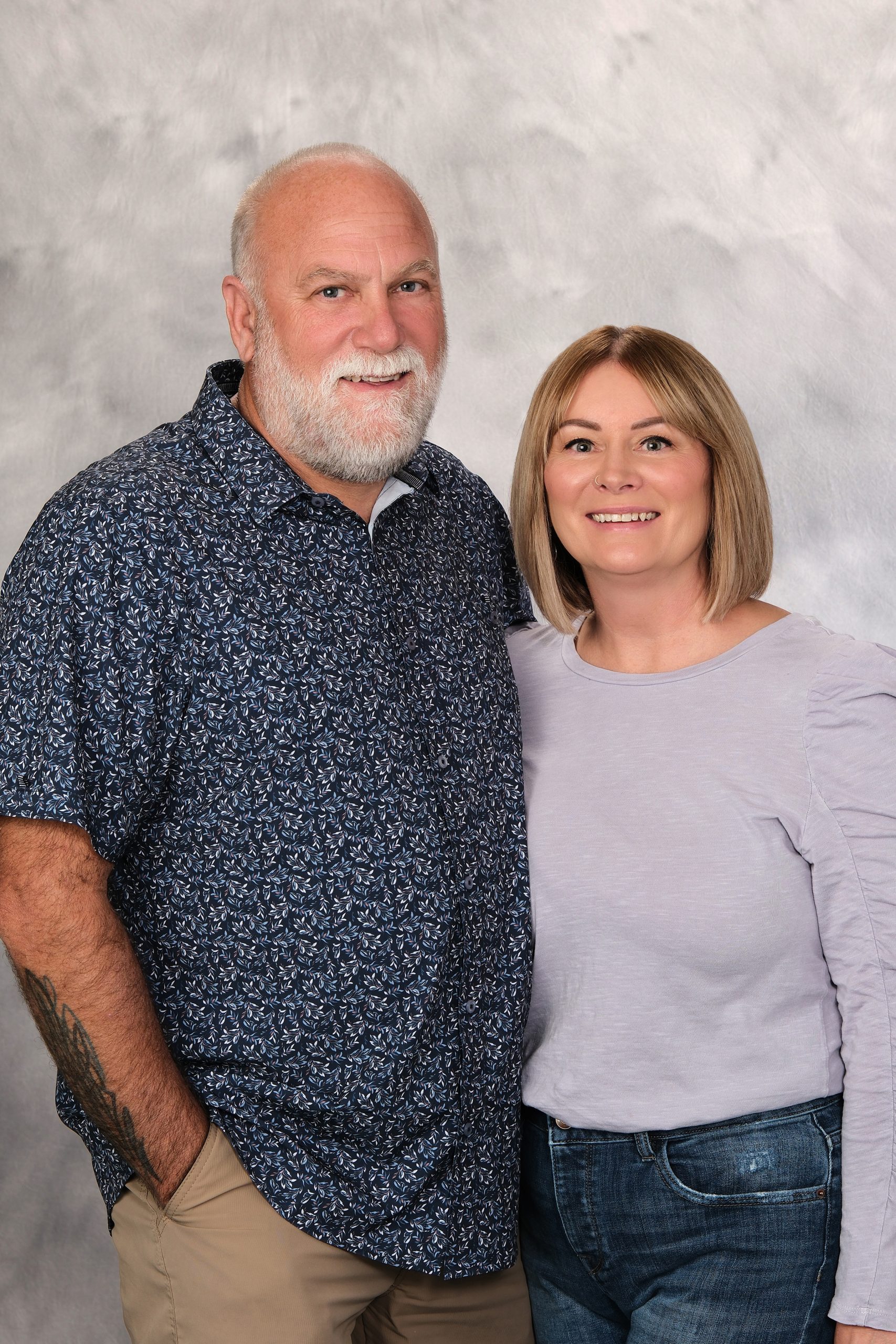
The Dickinson Family
With over two decades of experience, we have built a reputation for accuracy, professionalism, and customer satisfaction. Our surveys protect, prove, and insure your purchases or sales, giving you confidence in every property decision. Our civil engineering services build on that foundation, turning reliable data into practical designs that move projects forward and deliver real, lasting value.
Client Focused: We guarantee your satisfaction by ensuring our work meets all your needs and standards.
Licensed Professionals: Our team of licensed land surveyors and civil engineers bring expertise and precision to every project.
Local Expertise: We have deep knowledge of the land, regulations, and challenges specific to Western Nebraska and Eastern Colorado.
Services
Rural and Urban Land Surveys
Defining property boundaries for parcels of all sizes, from city lots to large agricultural tracts.
Construction Staking
Precisely laying out reference points to guide construction projects, ensuring accuracy from the ground up.
Topographic Surveys
Mapping the contours and features of the land, essential for drainage, design, and engineering projects.
Land Development Surveys
From ALTA/NSPS Land Title Surveys to subdivision and land development surveys, we support projects from concept to completion.
Civil Engineering
Designing efficient, buildable civil solutions that help developers move projects forward on time and on budget, while navigating permitting, regulations, and red tape to avoid unnecessary delays.
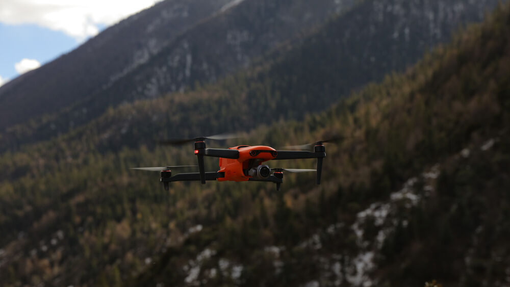
Advanced Aerial Surveying (RTK Drone Technology)
RTK-enabled drone surveying utilizing the Autel EVO II Pro RTK, combined with Carlson PhotoCapture and Point Cloud Advanced software, to produce high-accuracy orthophotos, surface models, and dense point clouds for topographic surveys, site development, corridor mapping, and volumetric analysis.
High-Precision GPS / GNSS Surveying Systems
Real-time RTK GPS/GNSS surveying systems delivering centimeter-level accuracy for boundary surveys, control establishment, construction staking, ALTA/NSPS surveys, and civil engineering data collection across large and complex sites.
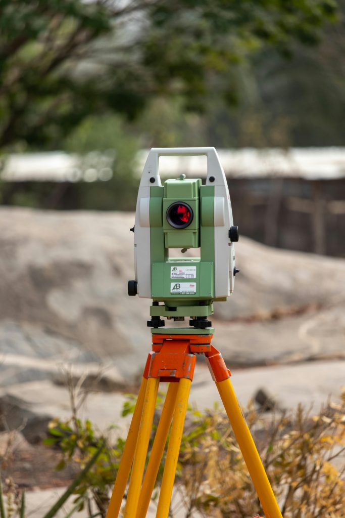
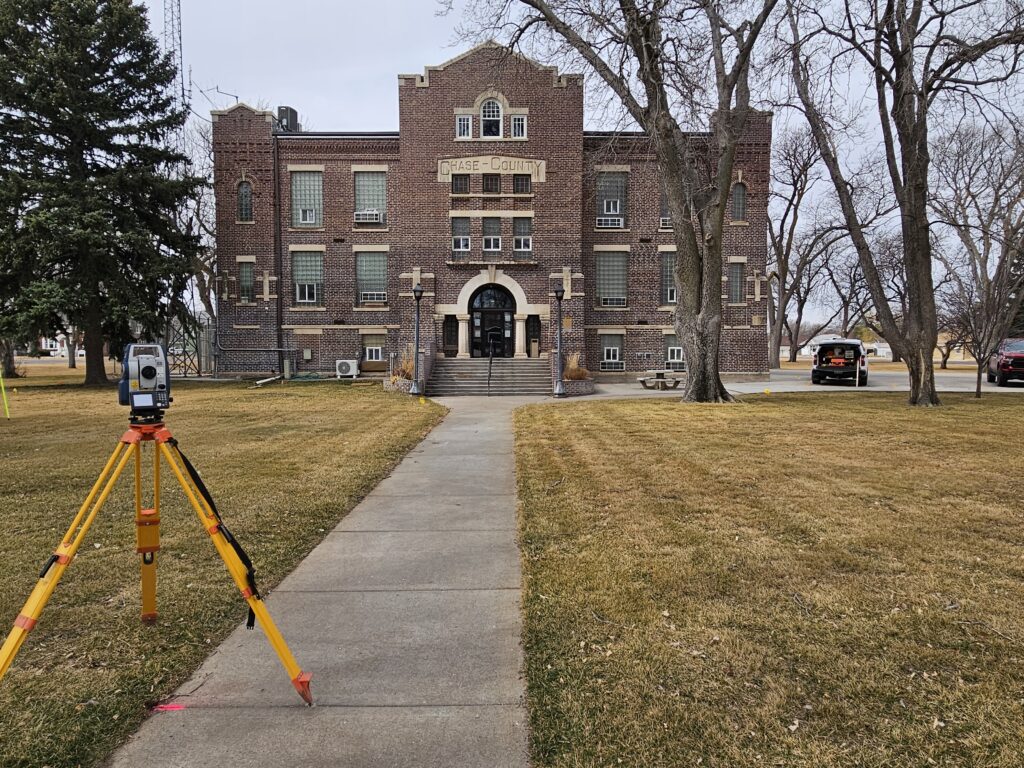
Robotic Total Station & Conventional Survey Technology
Robotic total stations and conventional survey equipment used to collect precise angles, distances, and elevations where GPS is limited, supporting detailed boundary work, construction layout, and projects requiring tight tolerances and repeatable results.